Managed Field Collection
Project-specific environments, participants, workflows, and capture protocols organized around the buyer's target scenarios.
We design and operate managed data collection programs for robotics, computer vision, autonomous systems, and Physical AI,
from field capture to engineering-ready delivery.
From field capture to validation, traceability, and buyer-ready delivery.
Define the data your model is missing. We design the collection around it.
We turn project-specific data requirements into managed collection programs—from capture design and field operations to validation, metadata, and structured delivery.
Project-specific environments, participants, workflows, and capture protocols organized around the buyer's target scenarios.
Real-world and egocentric video with project-defined sensor data, timestamps, device context, and structured capture metadata.
Technical validation, metadata checks, source traceability, recapture workflows, and engineering-ready delivery packages.
Origin Data Lab is not limited to a single camera, sensor, or data modality. We configure real-world collection around the task, environment, hardware, synchronization requirements, metadata schema, and model objective.
First-person activity, hand-object interaction, tool use, bimanual workflows, video and IMU.
Synchronized stereo and multi-camera capture for spatial and viewpoint-aware learning.

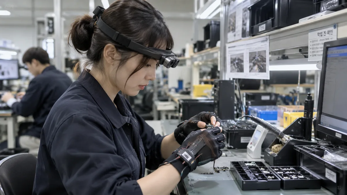
IMU, hand, finger and body-motion sensing aligned with real-world tasks.
Depth-aware capture for spatial perception, manipulation, and environment understanding.
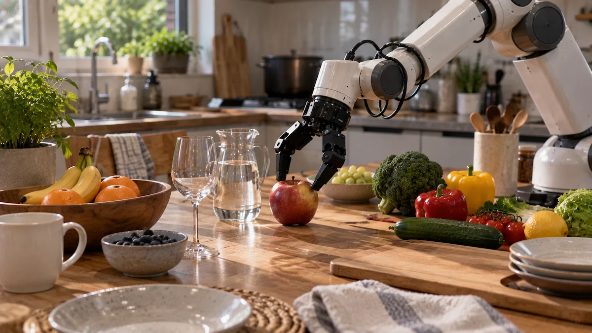
Robot-linked observation, state, action, trajectory and sensor data.
Road, traffic, pedestrian, detection, tracking and perception data.
A production-proven mobility collection example from our Bangladesh field pipeline. This evidence demonstrates our capture, metadata, QC, traceability, and delivery workflow. Physical AI and egocentric programs are scoped separately around customer-defined tasks and sensors.
Collection continues through our active field pipeline and can expand according to project scope, target environments, and delivery requirements.
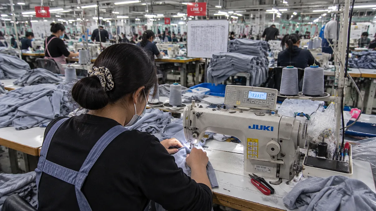
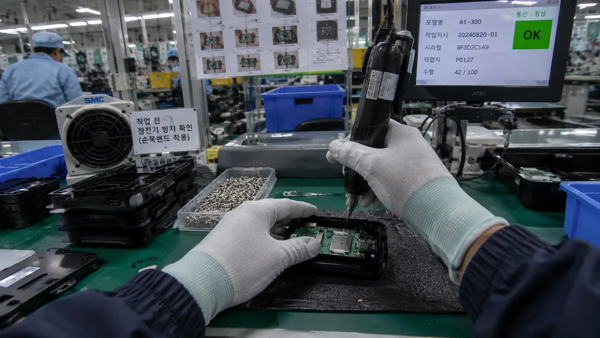
Managed collection in real production environments, capturing human workflows, tool interaction, and task execution under operational conditions.
First-person capture of precision human workflows, including hand-object interaction, tool use, task sequences, and operational context in real production environments.
Clip-level engineering metadata including timestamps, GPS, IMU, scene context, capture properties, object statistics, privacy processing, quality indicators, and delivery status.
Preview fields are simplified for readability. Click the metadata card to inspect the complete website-safe JSON record. Final schemas and delivery formats are defined against each project’s technical requirements.
We build project-specific collection programs for real environments, human activity, operational workflows, and multimodal capture requirements that are difficult to reproduce through public datasets or simulation alone.
Head-mounted, chest-mounted, and project-defined first-person capture for household, workplace, service, manipulation, and task-oriented activities.
Collection programs for commercial kitchens, cleaning, light manufacturing, hospitality, retail, food processing, and other operational environments.
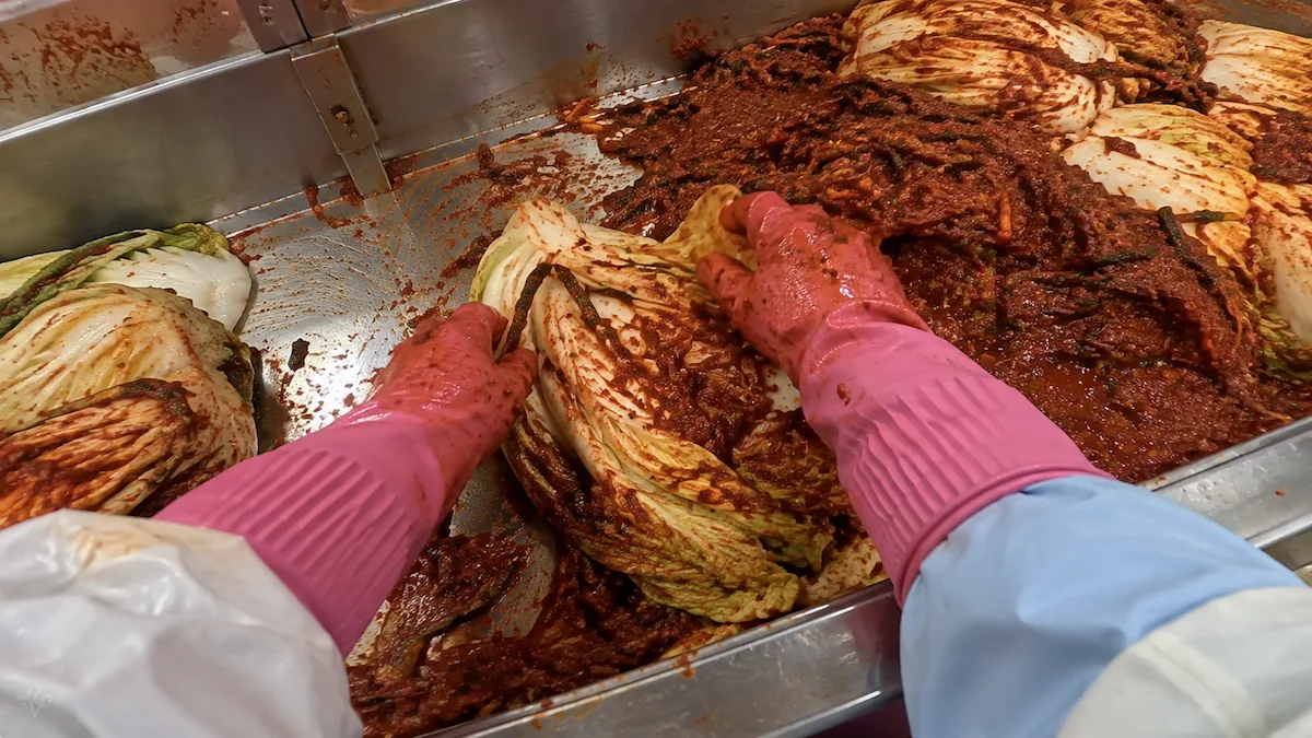
Access to region-specific environments and culturally distinctive workflows, including Korean food production, seafood processing, service operations, household activity, and specialized commercial tasks.
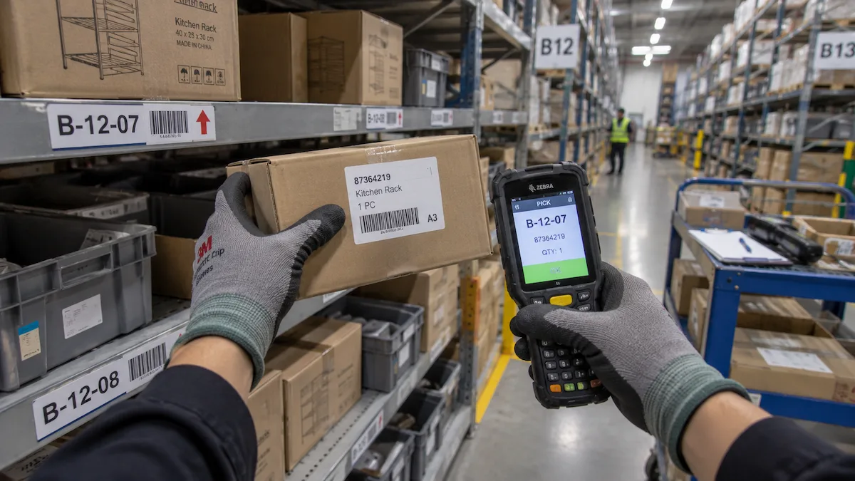
Projects can begin with focused calibration and workflow validation, then expand through managed field operations in Bangladesh and other project-approved locations as production requirements grow.
Capture format, sensor requirements, participant profile, environment, workflow, metadata schema, and quality criteria are defined for each project.
Explore Our Data Capabilities: Physical AI Data Collection · Robotics Training Data · Egocentric Human Demonstration · Multimodal Sensor Data · South Korea Data Collection
We deliver more than raw recordings. Every collection is prepared for engineering evaluation, model development, and long-term data operations.
dataset_package/

├── clips_blurred/
│   └── *.mp4
│
├── human_gt_preview/
│   └── *.jpg
│
├── metadata/
│   └── *.json
│
├── buyer_catalog.json
├── buyer_sample_index.csv
├── sample_index.csv
├── dataset_manifest.json
├── release_context.json
│
├── README.md
├── DATASET_CARD.md
├── QUALITY_ASSURANCE.md
├── PRIVACY_REPORT.md
├── RELEASE_CERTIFICATE.md
├── LICENSE.md
│
└── SHA256SUMS.txt
Typical commercial deliveries include engineering documentation, structured metadata, validation records, licensing information, privacy documentation, release certificates, and integrity verification. Some annotation assets and project-specific deliverables are provided according to the agreed project scope.
Real environments contain variation, ambiguity, occlusion, and human behavior that are difficult to reproduce through simulation or standardized datasets. We design collection programs around these missing conditions.
Hands, tools, objects, materials, and multi-step actions create fine-grained interactions that are critical for robotics, egocentric learning, and Physical AI systems.
Real people perform the same task with different motion, timing, technique, tools, workspace layouts, and environmental context. Collection can be designed to capture this natural variation.
Partial visibility, changing lighting, clutter, moving people, complex backgrounds, and unpredictable environmental conditions expose weaknesses that clean benchmark data may not reveal.
Accepted data is organized into a traceable delivery package with media, metadata, documentation, validation records, and integrity files defined around the buyer's technical requirements.
Primary data assets linked through stable clip and source identifiers for traceable engineering use.
Human-verified ground truth is included only where specified. Annotation exports are defined against the project scope.
Buyer-facing documentation and verification files support review, reproducibility, and controlled dataset handoff.
Privacy scope, permitted use, annotation formats, custom schemas, delivery cadence, and licensing terms are confirmed before release.
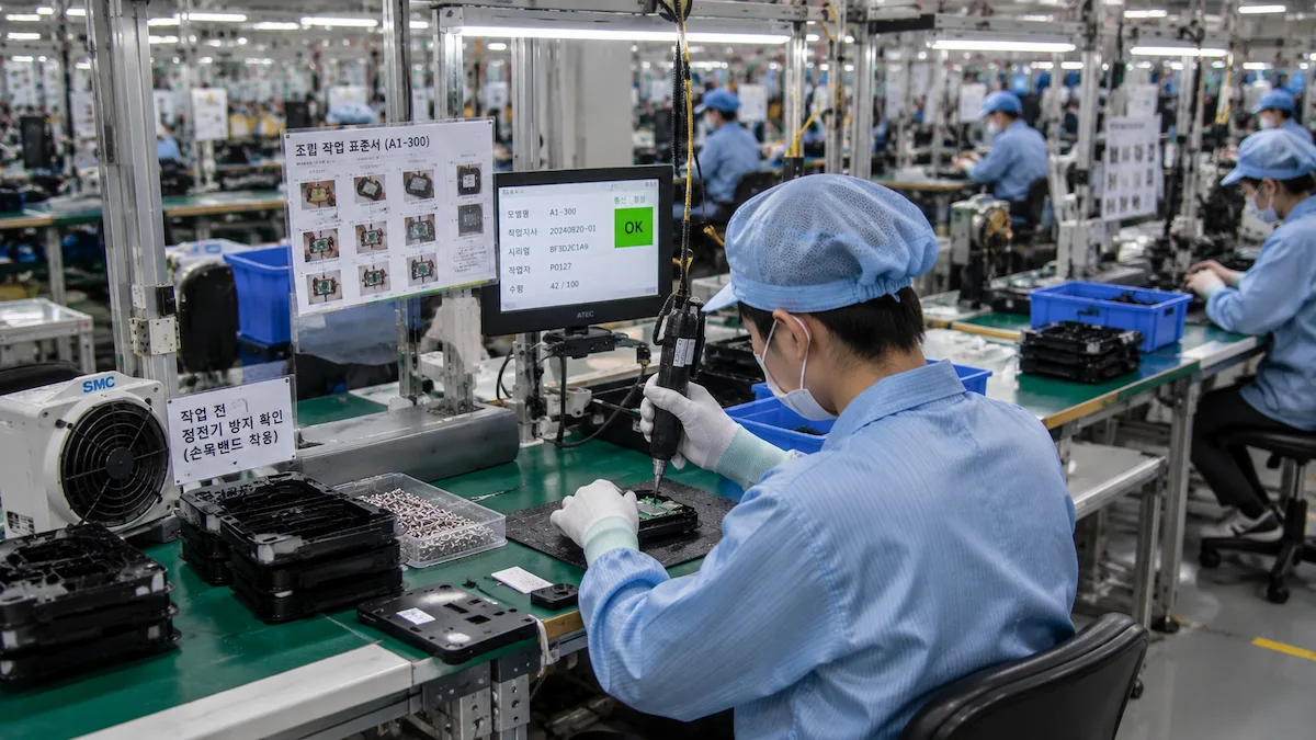
01 — Define. Target task, environment, participants, sensors, metadata, and acceptance criteria.
02 — Calibrate. Validate capture setup, instructions, and pilot recordings before production.
03 — Produce. Operate managed field collection using the approved workflow.
04 — Validate. QC submissions, track failures, and route required recaptures.
05 — Deliver. Package accepted data into buyer-defined schemas, metadata, and manifests.
Define clearly.
Capture consistently.
Validate systematically.
Deliver with traceability.
Teams can start with a focused calibration or evaluation batch, validate the collection protocol and quality thresholds, then expand into repeat production cycles with agreed capture, metadata, QC, recapture, and delivery requirements.
Start with a focused evaluation batch, expand into project-specific production, and continue through repeat delivery cycles as requirements grow.
Validate whether a focused real-world scenario exposes meaningful weaknesses in your current evaluation, perception, or training workflow.
Build a field collection project around your deployment environment, target behaviors, capture instructions, metadata, and quality requirements.
Continue collecting, validating, and refining real-world data as your model, deployment environment, and engineering roadmap evolve.
Explore a free sample first, then discuss a pilot tailored to your deployment goals. Scope, timeline, metadata, quality requirements, licensing, and delivery cadence are confirmed before collection begins.
Practical answers about field operations, custom capture, metadata, quality control, regional production, and delivery.
We currently operate field production capabilities in South Korea and Bangladesh. Additional locations can be evaluated according to target environments, participant requirements, field access, and project feasibility.
Yes. Collection can be designed around human activities, manipulation tasks, operational workflows, target environments, participant profiles, viewpoints, capture instructions, sensor requirements, and project-defined acceptance criteria.
Depending on the approved capture configuration, records can include IMU, audio, timestamps, GPS, device information, task or route context, capture settings, scene metadata, operational records, and quality indicators linked to each recording.
Yes. Camera configuration, mounting position, recording instructions, required sensor fields, identifiers, metadata fields, naming rules, quality thresholds, and delivery structure can be defined against the buyer's technical requirements.
Yes. A focused pilot can validate field instructions, capture configuration, scenario relevance, metadata structure, technical quality, acceptance criteria, and delivery format before production volume is increased.
Captures can be reviewed for technical quality, protocol compliance, metadata completeness, sensor availability, and project-specific rules. Failed records can retain structured rejection reasons and be routed into a replacement or recollection workflow.
Yes. Annotation, labeling, Human Ground Truth, scene attributes, project-specific classes, and other derived fields can be included when they are part of the agreed production and delivery scope.
Privacy treatment, anonymization requirements, permitted use, licensing, access controls, retention conditions, integrity verification, and buyer-approved delivery procedures are defined according to each engagement.
Tell us what your model needs to see, where it needs to be captured, and what technical requirements matter. We turn that requirement into a practical collection, validation, and delivery workflow.